
Throughout history, explorers from all walks of life have set out into the unknown to map new lands and also chart dangerous waters. However, not every explorer’s discovery has been shared with the public, and some of the maps have even been lost along the way. We’ll take a look at some of the most mysterious hidden maps and lost routes from early explorers throughout history.
1. The Piri Reis Map

The Piri Reis Map was created in 1513 by Ottoman admiral Piri Reis. The map is infamous for being able to depict Antarctica long before it was officially discovered. It portrays the coastlines with stunning accuracy even though it was made in an era that didn’t have satellites or modern day navigation capabilities. The real mystery still persists though, and that is just how such detailed information was acquired in the first place?
2. The Vinland Map

This impressive medieval map allegedly proves that Vikings reached North America before Columbus. It depicts a piece of land called, “Vinland”, which is a land described in Norse sagas. The catch is that it’s authenticity still stirs up debates, and plenty out there claim that it’s nothing more than an act of modern forgery. However, there’s still that room for questioning who is right?
3. The Tabula Rogeriana

The Tabula Rogeriana was drawn back in 1154 by an Arab geographer named Muhammad al-Idrisi. The map is said to be the single most accurate world representation of its time. It was able to combine Greek, Chinese, and Arab knowledge, illustrating trade routes and cultural exchanges as well. Its accuracy astounds scholars to this day.
4. The Lost Maps of Zheng He

Infamous Chinese explorer, Zheng He, led numerous naval expeditions throughout the early 1400s, and even possibly reached the Americas. Some are convinced that his lost maps contain actual proof of his voyages, but they ended up disappearing following China halting its exploration. To make matters even more fascinating, fragments of his maps were discovered in later documents, and suggest that he may have been responsible for mapping parts of the world before Europeans did.
5. The Hereford Mappa Mundi

This medieval map was created around 1300 and blends geography with religious beliefs and myths. It depicts biblical locations, various mythical pieces of land, and historical sites, which all comes together to create a visceral picture of medieval worldviews. To this day, the map remains one of the most meticulously detailed surviving medieval maps.
6. The Cantino Planisphere

This impressive 1502 map was one of the first of its kind to vividly depict newly discovered lands throughout the Americas. It was smuggled out of Portugal by an Italian agent, and ended up revealing secret Portuguese knowledge of exploration. The map shows off South America’s coast, effectively proving that Portugal had managed to map these areas before other Europeans did.
7. The Fra Mauro Map

The Fra Mauro Map was created in the 15th century by a Venetian cartographer named Fra Mauro. The map provided a detailed look at Africa, Asia, and Europe with stunning accuracy. This map was special though in that it was based on real traveler accounts as opposed to religious beliefs. It was also the first ever European map to confirm that Africa could be circumnavigated.
8. The Waldseemüller Map

This map was created in 1507, and was the first map to ever use the name “America” when referring to the New World. The map was based on various accounts from well-established early explorers at the time, and served to shift how people looked at world geography. One copy remains, and its tucked away in the Library of Congress.
9. The Lost Maps of Henry Hudson
The infamous explorer, Henry Hudson, had set out to discover what we now know as the Northwest Passage. However, his last voyage concluded in complete mystery when his crew mutinied. Any of the maps that he could’ve made during that ill-fated voyage were lost the moment that he was cast adrift into the Hudson Bay. To this day, the full depth of his charts remain unknown.
10. The Portolan Charts

This collection of medieval-era maps was used by sailors before longitude could ever be measured with meaningful accuracy. They depicted detailed coastlines, harbors, and also compass roses. However, they lacked the essential latitude-longitude grids. Scholars still disagree over how medieval cartographers were able to create such precise nautical maps in the first place.
11. The Map of Juan de la Cosa

The Map of Juan de la Cosa was created back in 1500. It’s the oldest known map to depict the Americas. Spanish navigator Juan de la Cosa, who sailed with Columbus, was responsible for creating the map by using firsthand exploration data. The map retains historical significance because it was able to reveal what the Spanish knew about the New World at the time.
12. The Ebstorf Map

The Ebstorf Map was destroyed at one point during WWII, but it contained drawings of both biblical as well as mythical events. It melded together history, theology, and also geography into one impressive map. Even though it wasn’t intended to aid in navigation, it did help mold medieval Europeans’ understanding of the world.
13. The Juan Fernández Islands Map

The rumors continue to run amok that Spanish explorers mapped secret Pacific islands that were centuries old before their official discovery was announced. The Juan Fernández Islands were known to 16th-century sailors, but the earliest maps that detail their location have vanished altogether. Some are still convinced that the hidden islands continue to remain uncharted in the vastness of the Pacific.
14. The Dieppe Maps

This collection of 16th-century French maps contributes to the debated narrative that Europeans were aware of Australia long before it was “officially” discovered. They go so far as to depict a landmass that was labeled, “Java la Grande,” which some contest is Australia. There still aren’t any records to explain exactly how the French came to obtain this knowledge, and therein lies the mystery of it all.
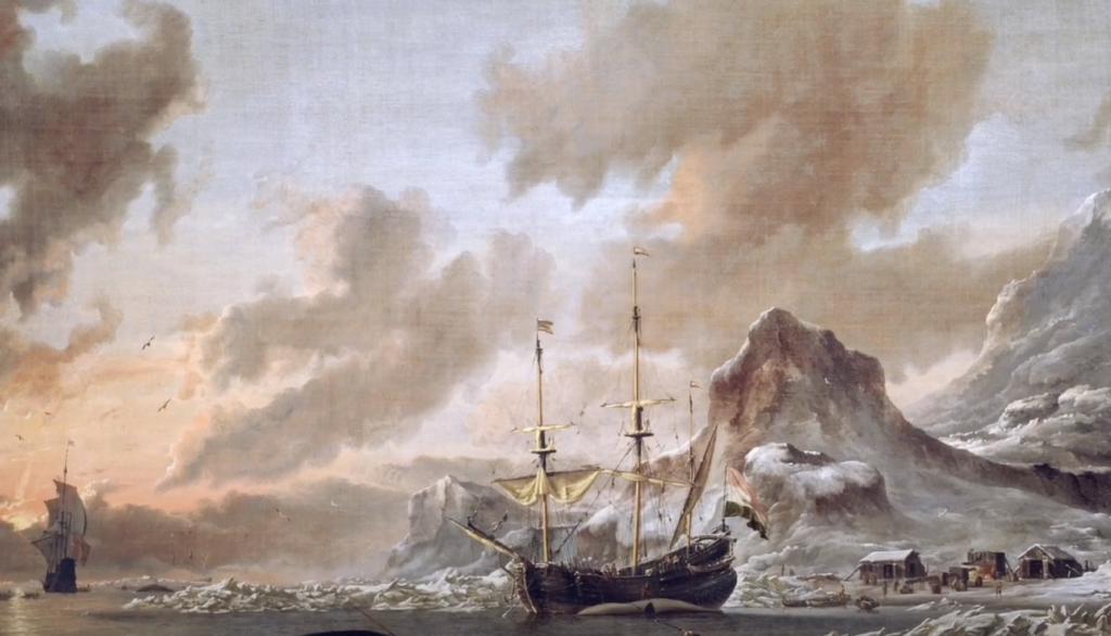
15. The Lost Viking Maps of Greenland

Norse explorers are known to have reached Greenland as well as North America, but there are few maps around from their voyages that continue to survive. In general, the existence of lost Viking maps has long been debated, spanning centuries. There are even some sagas that mention detailed descriptions of lands that extend beyond Greenland, and even hint at misplaced cartographic records.

